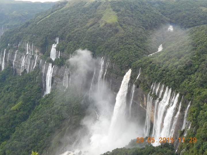
Culture Of Meghalaya
Meghalaya is a state in northeastern India. Meghalaya was formed by carving out two districts from the state of Assam: the United Khasi Hills and Jaintia Hills, and the Garo Hills on 21 January 1972.

Meghalaya, alongside neighbouring Indian states, has been of archaeological interest. People have lived in Meghalaya since the Neolithic. Neolithic sites discovered so far are located in areas of high elevation in Khasi Hills, Garo Hills and in neighbouring states, where Neolithic style jhum or shifting cultivation is practiced even today. The highland plateaus fed by abundant rains provided safety from floods and a rich soil. The importance of Meghalaya is its possible role in human history via domestication of rice. One of the competing theories for the origin of rice comes from Ian Glover, who states, "India is the center of greatest diversity of domesticated rice with over 20,000 identified species and Northeast India is the most favorable single area of the origin of domesticated rice." The limited archaeology done in the hills of Meghalaya suggest human settlement since ancient times. The Khasi, Garo, and Jaintia tribes had their own kingdoms until they came under British administration in the 19th century. Later, the British incorporated Meghalaya into Assam in 1835. The region enjoyed semi-independent status by virtue of a treaty relationship with the British Crown. When Bengal was partitioned on 16 October 1905 by Lord Curzon, Meghalaya became a part of the new province of Eastern Bengal and Assam. However, when the partition was reversed in 1912, Meghalaya became a part of the province of Assam. On 3 January 1921 in pursuance of Section 52A of the Government of India Act of 1919, the governor-general-in-council declared the areas now in Meghalaya, other than the Khasi states, as "backward tracts." Subsequently, the British administration enacted the Government of India Act 1935, which regrouped the backward tracts into two categories: "excluded" and "partially excluded" areas. At the time of Indian independence in 1947, present-day Meghalaya constituted two districts of Assam and enjoyed limited autonomy within the state of Assam. A movement for a separate Hill State began in 1960.[8] On 11 September 1968 the Government of India announced a scheme for constituting an autonomous state within the state of Assam comprising certain areas specified in Part A of the table appended to paragraph 20 of the Sixth Schedule to the Constitution. Accordingly, the Assam Reorganisation (Meghalaya) Act of 1969 was enacted for the formation of an autonomous state. Meghalaya was formed by carving out two districts from the state of Assam: the United Khasi Hills and Jaintia Hills, and the Garo Hills.[8] The name 'Meghalaya' coined by geographer S.P. Chatterjee in 1936 was proposed and accepted for the new state.The Act came into effect on 2 April 1970, with the autonomous state having a 37-member legislature in accordance with the Sixth Schedule to the Indian constitution. In 1971, the Parliament passed the North-Eastern Areas (Reorganisation) Act, 1971, which conferred full statehood on the autonomous state of Meghalaya. Meghalaya attained statehood on 21 January 1972, with a Legislative Assembly of its own.